Internationale Flugwoche zu Frankfurt
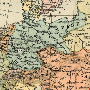
Frankfurt am Main, Germany, October 3rd - 13th 1909
Frankfurt am Main, Germany, October 3rd - 13th 1909
The ILA airfield

The exact layout of the race course is not known. It was stated to have been 1,667 kilometres long, but the times recorded over the course are unrealistically low, so it must have been shorter.
The airfield was only used during the 1909 meeting and was replaced by nearby fields, first by the Griesheim military excercise grounds two kilometres to the south and then from 1912 by the Rebstock field two kilometres to the west.
Parts of the field are still used by the Frankfurter Messe, while other parts have been developed for housing.

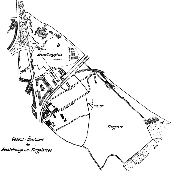
A map showing the 1909 ILA exhibition grounds and the airfield,
which was situated across the railway to the west. The Festhalle is
at the top of the map, and north is at around eight o'clock.
The "Flughügel" was an artificial hill for glider
flights. (1)

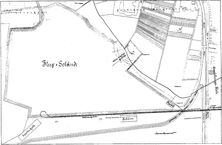
A second map showing some more detail. North is at twelve
o'clock. (2)

A rather murky photo, but it shows a light pylon at the left, the
ramp of the "Flughügel" and the grandstands to the right.
(3)
Too see more details, open the map in Google Maps by clicking the
"full screen" symbol at the top right of the menu bar!
